Find your place in the past.
Find your town, village, island or hill on the old surveys, and have it printed, set under a cup of tea or hung on the wall.

Maps within an afternoon of Liverpool
However you remember a place
The lettering tells you the year before the date does.
Engraved in Amsterdam from Timothy Pont’s surveys of the 1580s and ’90s: the first atlas of Scotland, its hills drawn in profile.
Drawn by soldiers after the ’45 in ink and watercolour: fields in strips, roads still to be built, a country measured for the first time.
The first national map, engraved on copper at one inch to the mile, with hills in hachures and lettering cut in the Regency’s modern face.
Every field, footpath, pump and bench mark at six inches to the mile. Lancashire and Yorkshire came first, in the 1840s.
Edinburgh’s colour maps for cyclists and motorists: green lowlands rising through buff to brown hills, roads graded first class to indifferent, dangerous hills marked with a red arrow.
Schoolchildren coloured every field in Britain by its use. Among the most beautiful maps of the century, and the plainest in type.
The post-war one-inch: clean, confident, the map people walked with until metrication.
Lately chosen
Every map in the shop


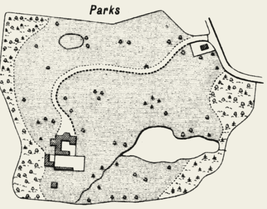
How to read a park, a bench mark and a parish line.
The Survey drew every park the same way: a fine stipple inside its pale, single trees, the house in plan. Plate IV, “Conventional Signs and Writing”, is the key to it all, and the source of the twelve lessons in our 2027 calendar.