

EdinburghHistoric Map wooden coaster
Edinburgh Historic Map wooden coaster
Couldn't load pickup availability
- Printed to order in Britain
- Reproduced from the original in the National Library of Scotland
- Arrives with a card naming the sheet, the survey and the year
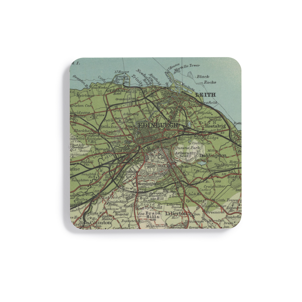
A wooden coaster featuring Bartholomew's distinctive Half-Inch mapping of Edinburgh and the surrounding area.
What this map covers
This product uses the reviewed historic-map view of Edinburgh shown in the listing imagery.
About this map
This artwork is cropped from Sheet 8 · Edinburgh District, 1903, focusing the original cartography around Edinburgh rather than reproducing the complete historic sheet.
Its 1:126,720 scale, two miles to the inch, sits between detailed local survey mapping and much smaller national maps. The Half-Inch series was designed to make a wide area useful to the traveller, showing how settlements, routes, and terrain fitted together rather than concentrating on property-level detail.
The maps were not simple reductions of Ordnance Survey sheets: Bartholomew selected and added information, including route categories useful to travellers. The interest is often in the regional pattern: how a town relates to neighbouring places, transport routes, water, and higher ground. This particular source was published in 1903.
About the product
Made to order. Shipping is calculated at checkout.
- 100 × 100 mm
- 4mm medium-density fibreboard
- protective cork underside
- single 100 × 100 mm coaster
- square shape
- high-gloss printed surface
- dye-sublimation printing
- Gently wipe clean.
A note on map detail
The original map was printed at approximately 1:127,000. This artwork is reproduced at approximately 1:100,000, around 1.3× larger, making the original cartography and place names easier to see.
Historic map detail varies with product size and material. Use the listing close-ups as your guide to the exact crop and level of detail.
- Colours may print slightly warmer because of the base material.
Map source
Historic map image: National Library of Scotland https://maps.nls.uk/
Cartography: John Bartholomew & Co.
About There & Then
There & Then brings archival cartography back into everyday use, creating pieces designed to be seen and lived with at home.

Edinburgh
- Map
- Bartholomew
- Year
- 1903
- County
- Midlothian
- Original
- National Library of Scotland