

CambridgeHistoric Map wooden coaster
Cambridge Historic Map wooden coaster
Couldn't load pickup availability
- Printed to order in Britain
- Reproduced from the original in the National Library of Scotland
- Arrives with a card naming the sheet, the survey and the year
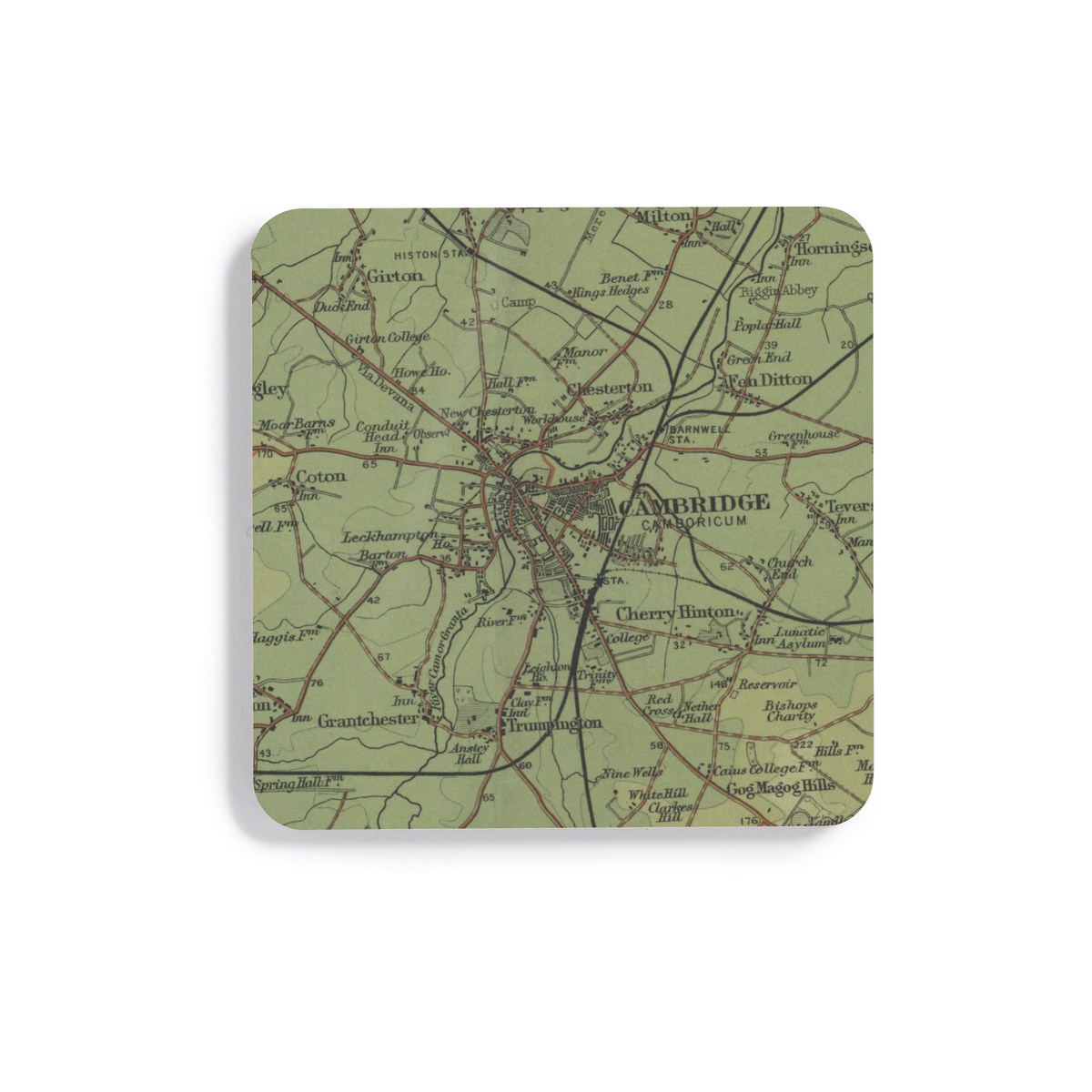
Bartholomew's distinctive Half-Inch mapping of Cambridge, reproduced here as a wooden coaster.
What this map covers
The geographic coverage follows the exact product crop of Cambridge shown in the listing imagery.
About this map
This artwork is cropped from Sheet 19 · Cambridge, Huntingdon, 1902, focusing the original cartography around Cambridge rather than reproducing the complete historic sheet.
Bartholomew developed the Half-Inch series for people who needed to understand a region at a glance, with transport routes and physical geography given particular emphasis. Two miles are represented by one inch on the map, giving enough reach for a journey or region while keeping individual towns and routes legible.
Bartholomew's coloured treatment of relief gives the maps much of their visual identity, making the shape of uplands and lowlands readable before individual labels are examined. Complete coverage of Great Britain was achieved by 1903, and the series became closely associated with touring and cycling in the early twentieth century. This particular source was published in 1902.
About the product
Made to order. Shipping is calculated at checkout.
- 100 × 100 mm
- 4mm medium-density fibreboard
- protective cork underside
- single 100 × 100 mm coaster
- square shape
- high-gloss printed surface
- dye-sublimation printing
- Gently wipe clean.
A note on map detail
The original map was printed at approximately 1:127,000. This artwork is reproduced at approximately 1:100,000, around 1.3× larger, making the original cartography and place names easier to see.
Historic map detail varies with product size and material. Use the listing close-ups as your guide to the exact crop and level of detail.
- Colours may print slightly warmer because of the base material.
Map source
Historic map image: National Library of Scotland https://maps.nls.uk/
Cartography: John Bartholomew & Co.
About There & Then
There & Then brings archival cartography back into everyday use, creating pieces designed to be seen and lived with at home.

Cambridge
- Map
- Bartholomew
- Year
- 1902
- County
- Cambridgeshire
- Original
- National Library of Scotland