

CanterburyHistoric Map wooden coaster
Canterbury Historic Map wooden coaster
Couldn't load pickup availability
- Printed to order in Britain
- Reproduced from the original in the National Library of Scotland
- Arrives with a card naming the sheet, the survey and the year
A wooden coaster of Canterbury, reproduced from Bartholomew's distinctive Half-Inch mapping.
What this map covers
This view of Canterbury also takes in Fordwich, with Bab's Hill among the surrounding landmarks.
About this map
This artwork is cropped from Sheet 31 · Kent, 1904, focusing the original cartography around Canterbury rather than reproducing the complete historic sheet.
The maps were not simple reductions of Ordnance Survey sheets: Bartholomew selected and added information, including route categories useful to travellers. Bartholomew's Half-Inch maps were made as practical regional maps, keeping towns, roads, railways, and the physical landscape readable across a generous stretch of country.
The interest is often in the regional pattern: how a town relates to neighbouring places, transport routes, water, and higher ground. Road information and coloured relief were deliberately prominent, giving these maps a clearer travelling-map character than denser large-scale survey sheets. This particular source was published in 1904.
About the product
Made to order. Shipping is calculated at checkout.
- 100 × 100 mm
- 4mm medium-density fibreboard
- protective cork underside
- single 100 × 100 mm coaster
- square shape
- high-gloss printed surface
- dye-sublimation printing
- Gently wipe clean.
A note on map detail
The original map was printed at approximately 1:127,000. This artwork is reproduced at approximately 1:100,000, around 1.3× larger, making the original cartography and place names easier to see.
Historic map detail varies with product size and material. Use the listing close-ups as your guide to the exact crop and level of detail.
- Colours may print slightly warmer because of the base material.
Map source
Historic map image: National Library of Scotland https://maps.nls.uk/
Cartography: John Bartholomew & Co.
About There & Then
There & Then brings archival cartography back into everyday use, creating pieces designed to be seen and lived with at home.

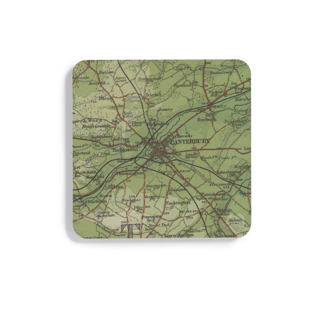
Canterbury · Fordwich · Bab's Hill
- Map
- Bartholomew
- Year
- 1904
- County
- Kent
- Original
- National Library of Scotland