


Newcastle-upon-Tyne & GatesheadHistoric Map Mug
Newcastle-upon-Tyne & Gateshead Historic Map Mug
Couldn't load pickup availability
- Printed to order in Britain
- Reproduced from the original in the National Library of Scotland
- Arrives with a card naming the sheet, the survey and the year
A mug presenting Newcastle-upon-Tyne through Bartholomew's distinctive Half-Inch mapping.
What this map covers
Beyond Newcastle-upon-Tyne, the map takes in Gateshead, Whickham and Wallsend.
About this map
This artwork is cropped from Sheet 2 · Northumberland, South, 1902, focusing the original cartography around Newcastle-upon-Tyne rather than reproducing the complete historic sheet.
Bartholomew's Half-Inch maps were made as practical regional maps, keeping towns, roads, railways, and the physical landscape readable across a generous stretch of country. Complete coverage of Great Britain was achieved by 1903, and the series became closely associated with touring and cycling in the early twentieth century.
Two miles are represented by one inch on the map, giving enough reach for a journey or region while keeping individual towns and routes legible. It is a scale particularly suited to following roads and railways between places while still reading coast, rivers, uplands, and the broader shape of the landscape. This particular source was published in 1902.
About the product
Made to order. Shipping is calculated at checkout.
- 11 oz · 229 × 95 mm print area
- white ceramic
- 11oz capacity
- straight-sided profile
- wraparound exterior print
- protective polished ceramic glaze
- dye-sublimation printing
- Dishwasher and microwave safe.
A note on map detail
The original map was printed at approximately 1:127,000. This artwork is reproduced at approximately 1:100,000, around 1.3× larger, making the original cartography and place names easier to see.
Historic map detail varies with product size and material. Use the listing close-ups as your guide to the exact crop and level of detail.
Map source
Historic map image: National Library of Scotland https://maps.nls.uk/
Cartography: John Bartholomew & Co.
About There & Then
There & Then brings archival cartography back into everyday use, creating pieces designed to be seen and lived with at home.


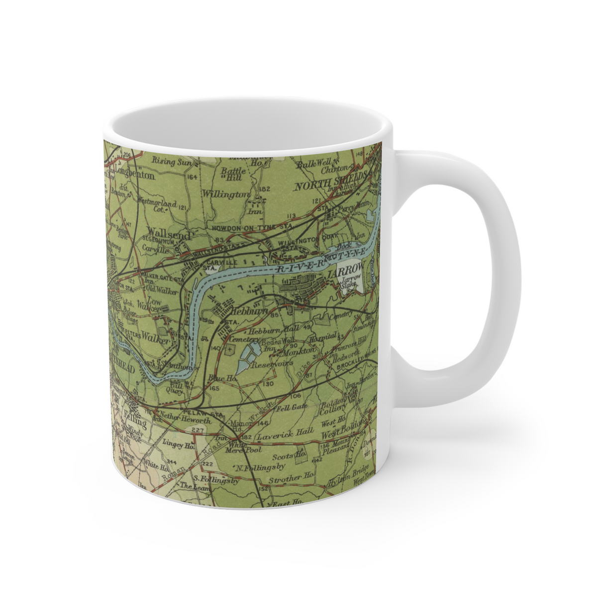
Newcastle-upon-Tyne · Gateshead · Whickham · Wallsend
- Map
- Bartholomew
- Year
- 1902
- Original
- National Library of Scotland