


PrestonHistoric Map Wall Art
Preston Historic Map Wall Art
Couldn't load pickup availability
- Printed to order in Britain
- Reproduced from the original in the National Library of Scotland
- Arrives with a card naming the sheet, the survey and the year
Bartholomew's distinctive Half-Inch mapping of Preston, reproduced here as a historic map wall art.
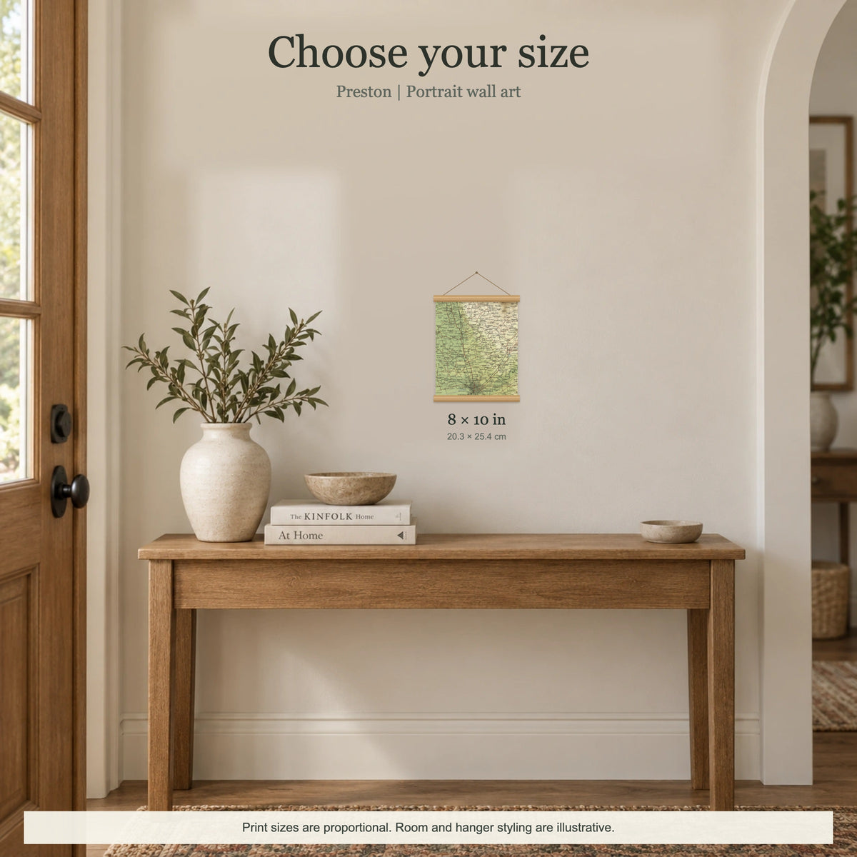
Choose your size
Choose the size that suits the space where your map will hang. Smaller sizes work well as compact accent pieces on shelves, gallery walls and narrower spaces, while larger sizes give the map more presence and make the historic detail easier to enjoy across a room.
Available sizes range from 8 × 10 in to 16 × 12 in. We only offer sizes that can be composed cleanly from the original historic map sheet and meet our print-quality threshold.
- 8 × 10 in
- 10 × 8 in
- 16 × 12 in
Choose your finish
Choose fine-art paper for a smooth, crisp finish that shows the finest map lettering particularly clearly, or canvas for a more textured, tactile appearance. Only finishes available for this listing are shown.
- Fine-art paper print without a hanger.
- Fine-art paper print with a solid-wood magnetic hanger.
- Artist-grade canvas with a solid-wood magnetic hanger.
- Available hanger colours: natural oak, black and white.
What this map covers
Every artwork focuses on Preston and includes Penwortham, Longridge and Beacon Fell.
Smaller sizes concentrate more tightly on the main place and nearby neighbourhoods, while larger sizes can extend to Blackburn, Parlick, Garstang and Goosnargh.
Placement of Preston by size: 8 × 10 in towards the bottom · 10 × 8 in towards the bottom · 16 × 12 in towards the bottom.
Each size is individually composed from the original historic map sheet. As the visible area changes, the featured place may sit centrally in some sizes and closer to one side or edge in others. Check the size images for the exact crop and position before choosing your print.
About this map
This artwork is cropped from Sheet 5 · North Lancashire & Isle of Man, 1905, focusing the original cartography around Preston rather than reproducing the complete historic sheet. The crop is composed to keep Preston prominent while working within the boundaries of the surviving historic map sheet. For this wall-art edition, the original cartography is enlarged so place names, roads and map detail are easier to enjoy from a normal viewing distance.
Look for the relationship between settlements and routes, and for the way the relief colours turn the surrounding terrain into part of the map's story. Its 1:126,720 scale, two miles to the inch, sits between detailed local survey mapping and much smaller national maps.
Bartholomew's coloured treatment of relief gives the maps much of their visual identity, making the shape of uplands and lowlands readable before individual labels are examined. Complete coverage of Great Britain was achieved by 1903, and the series became closely associated with touring and cycling in the early twentieth century. This particular source was published in 1905.
Product details
Made to order. Shipping is calculated at checkout.
- Size option: 8 × 10 in
- Size option: 10 × 8 in
- Size option: 16 × 12 in
- enhanced matte fine-art paper or 400gsm artist-grade cotton canvas
- solid-wood magnetic hanger on mounted options
- art-paper options are available with or without the wooden hanger
- canvas is available with the wooden hanger only
- colour-coordinated hanging cord
- wood strips may overlap up to 1.5 cm at the top and bottom
- smooth enhanced-matte paper or finely textured canvas
A note on map detail
The original map was printed at approximately 1:127,000. This artwork is reproduced at approximately 1:80,000, around 1.6× larger, making the original cartography and place names easier to see.
Historic map detail varies with product size and material. Canvas has a visible textile texture, so the smallest lettering can appear softer than on smooth fine-art paper. Use the listing close-ups as your guide to the exact crop and level of detail.
Map source
Historic map image: National Library of Scotland https://maps.nls.uk/
Cartography: John Bartholomew & Co.
About There & Then
There & Then brings archival cartography back into everyday use, creating pieces designed to be seen and lived with at home.


Preston · Penwortham · Longridge · Beacon Fell
- Map
- Bartholomew
- Year
- 1905
- Sheet
- 5
- Original
- National Library of Scotland