

SIX-INCH · FIRST EDITION · 1876
SaleHistoric Map Postcard, 1876 OS Six-Inch First Edition
Sale Historic Map Postcard, 1876 OS Six-Inch First Edition
Regular price
£8.95 GBP
Regular price
Sale price
£8.95 GBP
Taxes included.
Shipping calculated at checkout.
Quantity
Couldn't load pickup availability
- Printed to order in Britain
- Reproduced from the original in the National Library of Scotland
- Arrives with a card naming the sheet, the survey and the year
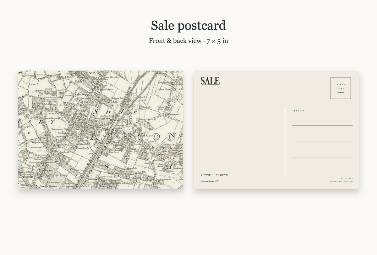
Sale on the first edition of the Ordnance Survey six-inch map, surveyed 1876, as a postcard.
About the map
The first six-inch survey mapped the county field by field, before most of its suburbs were built.
Product details
- 6 × 4 in (15 × 10 cm) or 7 × 5 in (18 × 13 cm)
- Thick matt card (324gsm)
- The map fills the front, edge to edge
- The back has the place name and county, its coordinates, the map's year, a stamp box, address lines and room for a message
- Comes with a brown Kraft envelope
Historic map: National Library of Scotland.
Made to order. Shipping is calculated at checkout.


About this sheet
SIX-INCH · FIRST EDITION · 1876
At a glance
- Map
- Os six inch first
- Year
- 1876
- County
- Cheshire
- Original
- National Library of Scotland